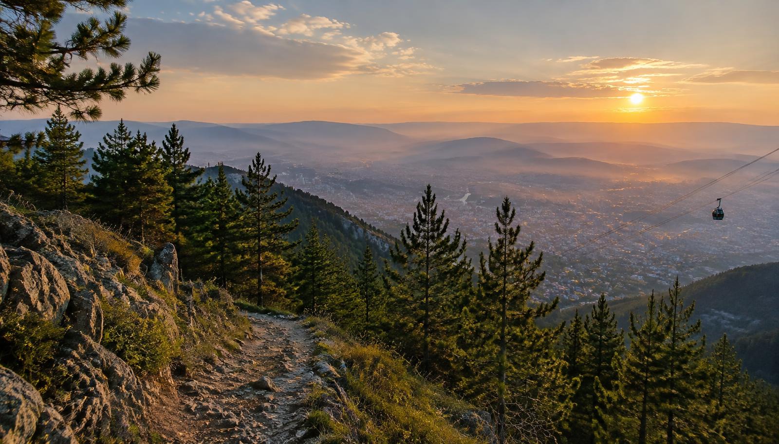
Mount Dajti Ridge
Mount Dajti Ridge is a moderate hike in Tirana, Albania: 9 km taking 3–4 hours, with 600 m of ascent and a high point of 1613 m.
- Distance
- 9 km
- Time
- 3–4 h
- Ascent
- 600 m
- High point
- 1613 m
- Difficulty
- Moderate
What to expect
Terrain
Paved lane to the cable-car top, then a dry pine-needle ridge path with a few rocky steps.
Phone signal
Full 4G the whole way — Tirana is right below you.
Crowds
Busy on Sunday afternoons with families from Tirana. Weekday mornings are peaceful.
Waymarking: Clear paths near the cable car; the far ridge is unsigned but easy to follow along the crest.
Elevation profile
Route map & waypoints
Tap a waypoint to centre the map on it, or open it straight in Google Maps.
Navigate & download
Load the GPX into Organic Maps, Maps.me or AllTrails before you leave the valley — signal disappears on most of these routes.
Water
Cafés at the cable-car station
Safety
Well marked near the top. Check cable-car hours for the way down.
Emergency & safety
Save these numbers before you start Mount Dajti Ridge. Several hikers get lost here every season.
Albania has no 24/7 helicopter mountain-rescue service. Call 112 first, then your guesthouse — searches in Theth, Valbona and Jezerca are run by police with local volunteer rescuers and guesthouse owners, and they need hours to reach you.
- Tell someone your planBefore you leave, tell your guesthouse which trail you are walking, when you expect to arrive and who is with you. This is the single thing that starts a search early.
- Download the route firstSignal disappears on the passes. Save the GPX or KML from this page into Organic Maps, Maps.me or AllTrails, and download the offline map area while you still have wifi.
- Turn back by 13:00Thunderstorms build over the Accursed Mountains in the early afternoon. If you have not reached the pass or summit by 13:00, turn around.
- Follow the red-and-white blazesNever follow goat paths, scree chutes or shortcuts, especially in cloud. If you lose the blazes, walk back to the last one you saw.
- Carry the basicsAt least 2 litres of water, sun cover, a headtorch, a foil blanket, a power bank and a whistle. Three blasts means help needed.
- Cash and no ATMsThere is no ATM in Theth or Valbona. Carry lek in cash for cafés, guesthouses and any 4x4 lift out of the valley.
Check current conditions before you set off.
Find guided hikes